

FIZZ in Kata — 700 metres from a beach that faces its own island
Kata is a lagoon between two green headlands with Koh Pu island in the middle of the view. Behind the beach is a real village on a grid of streets; behind the village, the hills. The map point puts FIZZ on Patak Road inside that grid, a short walk from the sand.
Up to date as of
Address and the point on the map

Address: Patak Road, Kata, Mueang Phuket, Phuket 83100 · 7.82193, 98.30181. The map loads only when you press the button; until then the page makes no request to Google or Yandex.
Kata in photographs
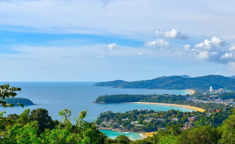
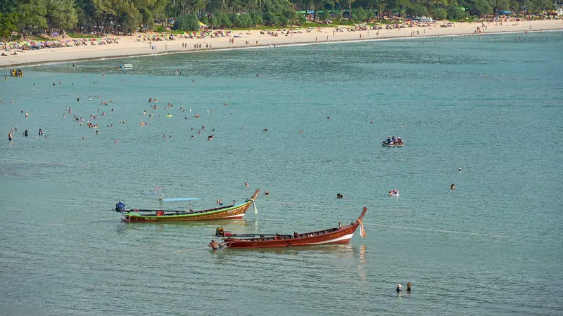
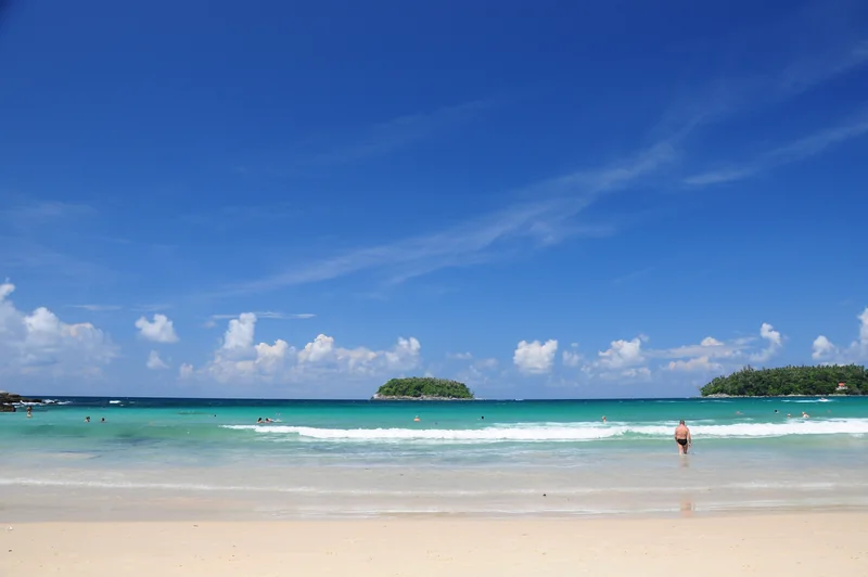
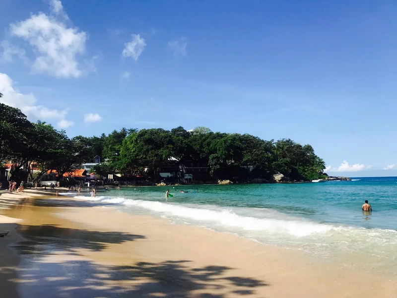
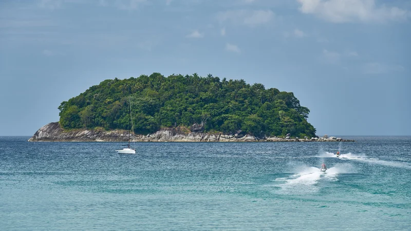
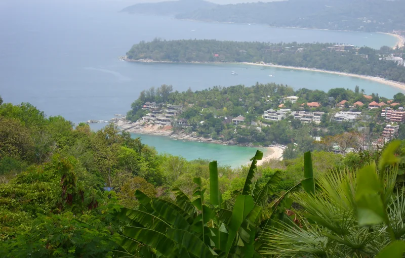
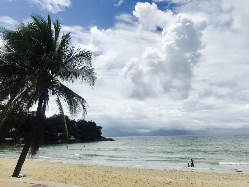
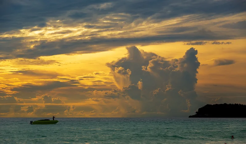
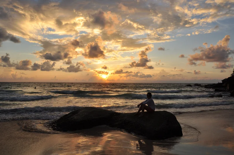
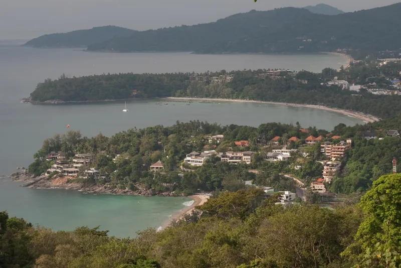
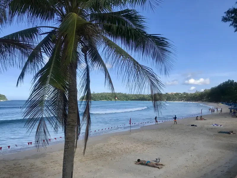
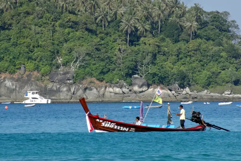
Photographs of the district by their authors, published on Wikimedia Commons under Creative Commons licences; author and licence are in each caption. Renders of the project itself are on the facilities and floor plans pages.
Distances from the FIZZ point, straight line
Measured from the project point to the centre of each place. Road distances are longer: Phuket's west coast is hilly, and Kata connects to Karon along the shore and to Chalong over the pass by the Big Buddha.
| What | Straight line |
|---|---|
| Kata Yai Beach | 0.6 km |
| Kata Noi Beach | 1.7 km |
| Karon Beach | 2.4 km |
| Big Buddha | 1.3 km |
| Patong Beach | 8.2 km |
| Phuket Old Town | 11.8 km |
| Phuket International Airport | 32.1 km |
Straight-line distances from the project point (7.82193, 98.30181) and public landmark coordinates. Not a road distance.
Drive times from Kata
Indicative minutes by car, the developer's figures for Kata and Karon. In high season add time for the passes and for Patong.
| Where | Minutes by car |
|---|---|
| Patong | 15 |
| Chalong and its pier | 15 |
| Big Buddha | 20 |
| Phuket Town | 35 |
| Phuket International Airport | 60 |
Developer's indicative drive times, 5 October 2026. The straight-line distances above are this site's own calculation.
What is around: the developer's map
Kata Walking Street, Kata Night Plaza and SC Plaza are between the project and the beach; Club Med and the Kata Beach community park are on the shore road; clinics and Karon's shops are to the north along Patak Road.
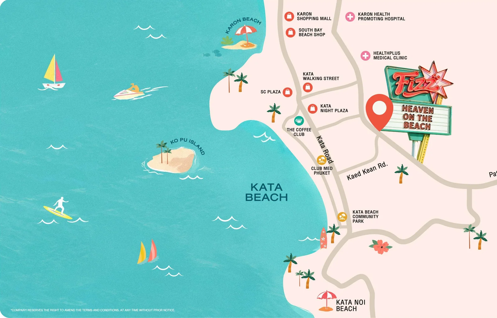
The district
What Kata is like to live in
Kata is two beaches. Kata Yai is the main one: a wide crescent of sand about 0.6 km from the project, facing Koh Pu island, with surf schools at the southern end from May to October and calm water the rest of the year. Kata Noi, 1.7 km away over a small hill, is shorter, quieter and framed by two headlands.
Behind Kata Yai is the village: Patak Road and Thai Na Road with restaurants, a fresh market, pharmacies, small hotels and long-term residents from Thailand, Europe and Russia. It is calmer than Patong, 8.2 km to the north, and busier than Kata Noi. Karon Beach, 2.4 km away, starts where Kata ends.
The Big Buddha stands on the hill 1.3 km east; the road to it and to Chalong leaves from the southern end of Kata. Phuket Old Town is 11.8 km away in a straight line, about forty minutes by car; the airport is 32.1 km, over an hour by road in season.
Why the district matters for this project
700 m — a few minutes on foot, which is what tenants pay for on the west coast
shops, a market and services within walking distance; you do not need a car for daily life
Kata Yai for the day, Kata Noi for the evening, Karon Viewpoint above both — the postcard of Phuket is taken from here
Rhom Bho's Katabello is under construction a short walk away — the first building of the same developer to compare with, on the same streets